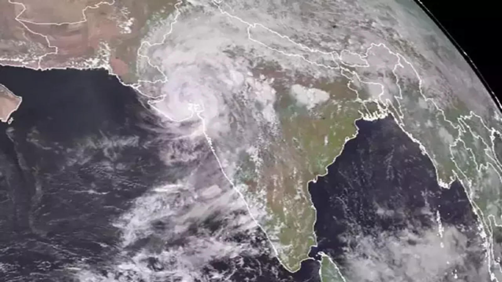
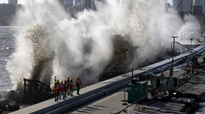
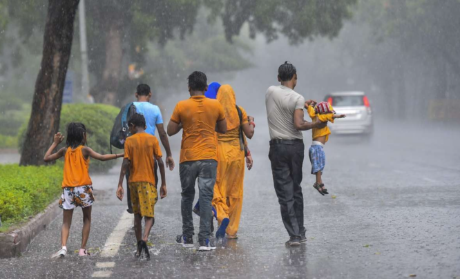
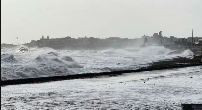
As a result of rainfall that was caused by Cyclone Biparjoy on June 14, the India Meteorological Department (IMD) has issued a red alert for the Saurashtra-Kutch area.
An warning level of high has been issued for the districts of Devbhumi Dwarka, Rajkot, Jamnagar, Porbandar, and Junagadh.
The area of Khambhaliya taluka in the Devbhumi Dwarka district has received the most precipitation so far today with 121 millimeters, followed by Dwarka with 92 millimeters and Kalyanpur with 70 millimeters.

All Schools have been closed and 17 NDRF Teams put on High Alert
As a precautionary measure, all schools have been closed, and as many as 17 NRDF teams have been put on high alert because of the potential for the cyclone to wreak extensive damage over a number of regions.
The Meteorological Department reported that there has been considerable damage to kutcha houses as well as the complete destruction of thatched homes in a number of different areas.
A warning for rainfall has been issued for a total of nine states and union territories, including Gujarat, Kerala, Tamil Nadu, Karnataka, Maharashtra, Goa, Daman and Diu, Lakshadweep, and Dadra and Nagar Haveli.

All of these places are located in the Indian subcontinent. On June 14 and 15, these places should brace themselves for a significant amount of rainfall.
In addition, the IMD issued a warning that heavy rainfall was likely to occur in the following locations: Arunachal Pradesh from June 14 to June 16, Eastern Rajasthan on June 16, Assam and Meghalaya from June 16 to June 18, and Eastern Rajasthan on June 16.
In addition, pockets of eastern and western Rajasthan, as well as Sub-Himalayan West Bengal and Sikkim, are expected to see thunderstorm periods on the 15th and 16th of June, while Uttarakhand is also likely to experience thunderstorm spells on the 18th of June.
On June 14, Cyclone Biparjoy transitioned into a very strong cyclonic storm and has been moving in a northwesterly direction since then. It is now located around 380 kilometers south of Karachi, and it is anticipated that it will strike Pakistan after India.


